


Edge Processing and Compression
How applying localized AI inference minimizes datalink saturation.
View HardwareEngineering
Stabilization, exposure, and datalink choices that preserve interpretability for analysts and algorithms.

Electro optical and infrared payloads demand rigorous attention to structural stabilization, dynamic exposure control, and robust datalink throughput. We precisely align gimbal dynamics with expected aircraft motion to preserve optical clarity. Managing these variables guarantees that the final digital artifact is entirely usable for highly technical downstream analysis.
We go beyond baseline integration by deeply analyzing the specific mounting frequency resonance. If the airframe's natural vibration frequency harmonizes with the gimbal's internal stabilization rings, the resulting imagery will suffer from micro-jitter. We custom-tune external vibration isolators to aggressively dampen these exact interference frequencies.
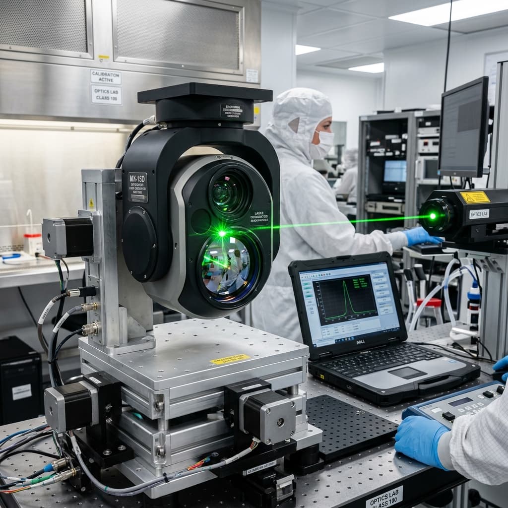
Calibration sequences utilizing boresighting, non uniformity correction, and tight georeferencing are planned extensively. These calibrations integrate alongside typical flight profiles, ensuring aerial captured outputs reliably meet heavy mapping or technical inspection contracts. We ensure that absolute coordinate precision propagates flawlessly into the video metadata.
Managing the latency between what the sensor sees and what the operator views on the ground is critical for tactical tracking. We optimize the entire video encoding pipeline - minimizing bufferbloat across the datalink - to ensure real-time command response. Every millisecond shaved from this loop significantly enhances the operator's ability to track fast-moving targets.
Operating in low light and high contrast scenes drives vastly different exposure strategies. We comprehensively document all operator control surfaces and automation boundaries to eliminate guesswork in the field. When shifting from blazing daylight to shadowed canyons, the sensor must instantly adjust without blinding the feed.
Our final handoff includes detailed environmental boundary charts, outlining exactly how heat shimmer or atmospheric moisture will degrade visual range. Operators must understand these physical limitations to plan their standoff distances and approach vectors accurately, ensuring the mission succeeds despite challenging optics.
Performance goes beyond simple megapixel counts. Real utility is actively measured in ground sample distance fidelity, continuous stereoscopic overlap, and actual analyst interpretability.
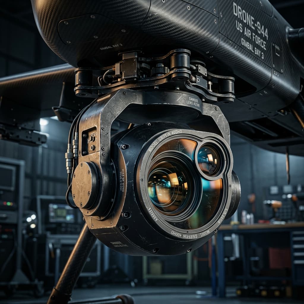
Infrared lenses operate differently than standard optical glass. Temperature shifts across altitude changes can warp calibration tables. We evaluate advanced athermalized lens assemblies to guarantee focus remains perfectly sharp across extreme thermal gradients.
Integrating high bandwidth uncompressed video streams presents substantial onboard networking challenges. We construct localized gigabit networks inside the airframe to handle intense continuous data flow without dropping essential telemetry packets.
Learn about specific data handling and hardware integration methods.
How applying localized AI inference minimizes datalink saturation.
View HardwareRequest a technical pass on EO/IR systems: constraints, risks, and a practical next step with clear assumptions.
